Descargar muestra
Detalles del fichero
Publicado: 2022-06-27 01:23:13.979172 Categoría: Graphic Resources Tipo: Vector Model release: NoShare
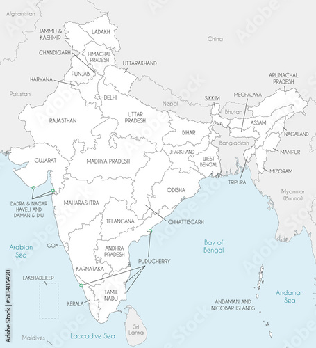
Vector map of India with states and territories and administrative divisions, and neighbouring countries. Editable and clearly labeled layers.
Contributor: asantosg
ID : 513406490
