Descargar muestra
Detalles del fichero
Publicado: 2024-09-03 17:39:58.990469 Categoría: Science Tipo: illustration Model release: NoShare
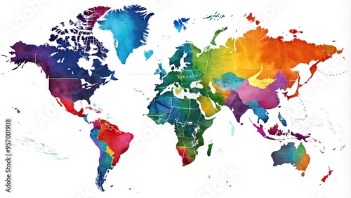
Stunning digital illustration of the world map highlighting all 50 US states with vibrant colors, precise borders, and subtle shading on a white background.
Contributor: Four888
ID : 957001908
