El carrito está vacío.


Descargar muestra
Detalles del fichero
Publicado: 2017-08-13 16:55:53.543295 Categoría: South Africa Tipo: Vector Model release: No
Share
       

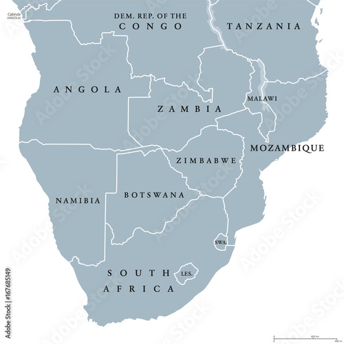
Southern Africa political map with borders of the countries and English labeling. The southernmost region of the African continent. Gray illustration on white background. Vector.

Contributor: Peter Hermes Furian
ID : 167685149

Títulofilesize
Vector8033x8035


Buy on Adobe Stock

Palabras clave
africa, southern, south, map, central, southern africa, south africa, country, border, region, continent, angola, zambia, mozambique, malawi, rhodesia, botswana, namibia, lesotho, swaziland, tanzania, congo, zaire, english, labeling, land, state, nation, atlas, cartography, geography, boundary, travel, destination, grey, illustration, white background, vector