El carrito está vacío.
  • Total:
  • €0.00


Descargar muestra
Detalles del fichero
Publicado: 2024-01-28 04:34:13.356883 Categoría: Travel Tipo: illustration Model release: No
Share
       

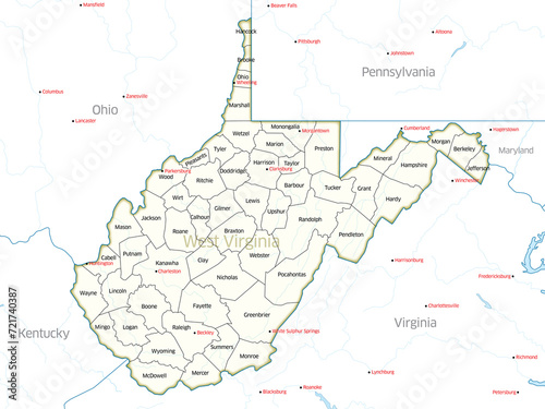
Political map showing the counties of the state of West Virginia.

Contributor: Gary Riegel
ID : 721740387

Títulofilesize
illustration7200x5400


Buy on Adobe Stock

Palabras clave
charleston, west virginia, kentucky, ohio, shenandoah, appalachian, atlas, cartography, columbus, country, county, cumberland, geographic, geography, graphic, illustration, isolated, land, map, mapping, map, mountain, mountaineer, outline, pennsylvania, pittsburgh, political, shape, state, territory, travel, us, wheeling, america, city, south