Descargar muestra
Detalles del fichero
Publicado: 2022-10-20 19:08:08.958029 Categoría: Science Tipo: illustration Model release: NoShare
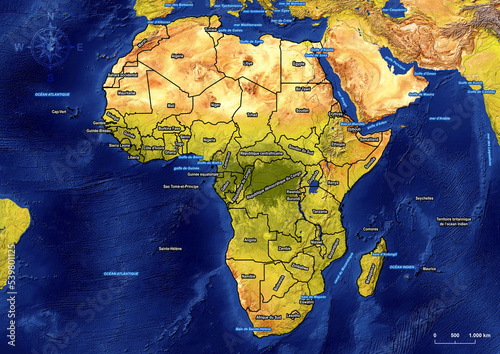
Political Map of Africa with marine areas in french on large and detailed satellite image (Satellite-derived land cover data with Shaded Relief, Water, and Drainages). Source: NaturalEarth.
Contributor: Ricardo
ID : 539801125
