Descargar muestra
Detalles del fichero
Publicado: 2023-06-07 10:33:41.149485 Categoría: Graphic Resources Tipo: illustration Model release: NoShare
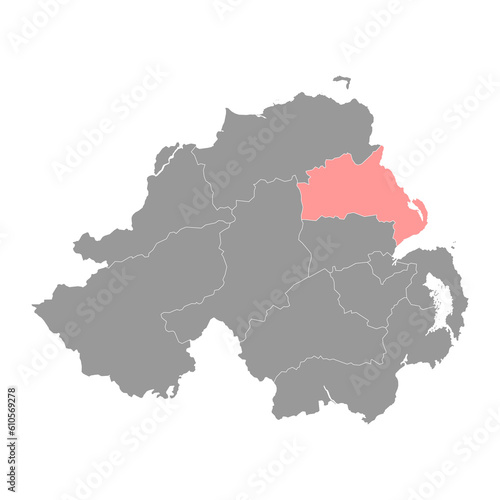
Mid and East Antrim map, administrative district of Northern Ireland. Vector illustration.
Contributor: Ruslan
ID : 610569278
