Descargar muestra
Detalles del fichero
Publicado: 2023-02-15 08:20:14.381019 Categoría: Technology Tipo: Vector Model release: NoShare
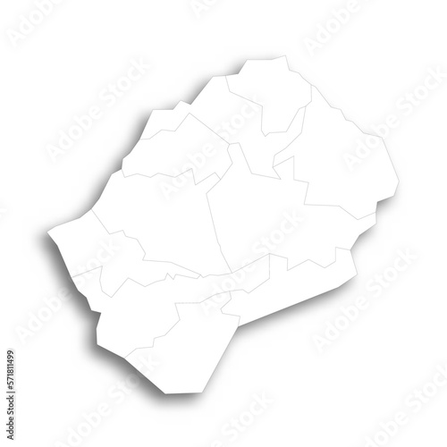
Lesotho political map of administrative divisions - districts. Flat white blank map with thin black outline and dropped shadow.
Contributor: pyty
ID : 571811499

