El carrito está vacío.


Descargar muestra
Detalles del fichero
Publicado: 2024-01-27 23:32:46.888561 Categoría: Graphic Resources Tipo: Foto Model release: No
Share
       

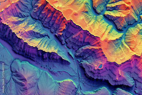
Digital elevation model. GIS product made after proccesing aerial pictures taken from a drone. It shows high rocky and steep mountain peaks. At their feet are visible valleys and mountain lakes

Contributor: Ungrim
ID : 721640239

Títulofilesize
Foto2688x1792


Buy on Adobe Stock

Palabras clave
mountain, peak, datum, aerial, topographic, model, map, cartography, geology, alpine, construction, drone, earth, elevate, elevation, engineer, engineering, geographic, glacier, ice, inspection, investigation, land, laser, mapping, map, nature reserve, planet earth, rock, scan, survey, surveying, technology, terrain, top, topography