Descargar muestra
Detalles del fichero
Publicado: 2023-01-02 21:46:40.128702 Categoría: Graphic Resources Tipo: Vector Model release: NoShare
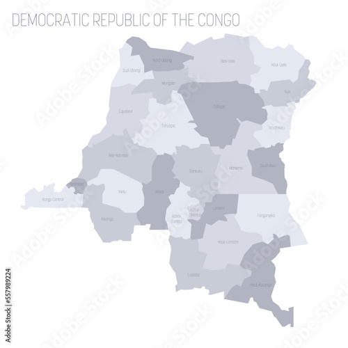
Democratic Republic of the Congo political map of administrative divisions - provinces. Grey vector map with labels.
Contributor: pyty
ID : 557989224

