El carrito está vacío.


Descargar muestra
Detalles del fichero
Publicado: 2022-10-27 08:51:14.964436 Categoría: Buildings and Architecture Tipo: Vector Model release: No
Share
       

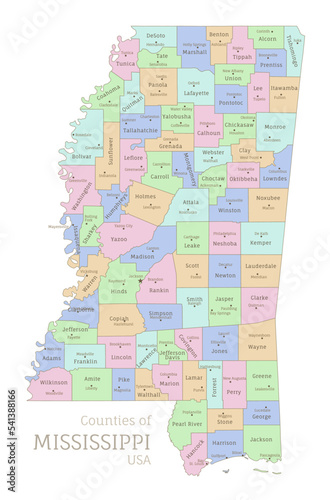
Counties of Mississippi, administrative map of USA federal state. Highly detailed color map of American region with territory borders and counties names labeled realistic vector illustration

Contributor: Sunflower
ID : 541388166

Títulofilesize
Vector3146x4767


Buy on Adobe Stock

Palabras clave
mississippi, map, divide, county, administrative, america, border, political, boundary, name, labeling, vector, illustration, realistic, art, design, isolated, southeastern, geography, country, contour, city, travel, cartography, land, capital, continent, atlas, national, silhouette, pastel, mapping, topography, colours, united, territory, district, nation, colourful, geographic, editable, overview, us, state, american, region